skip to main |
skip to sidebar
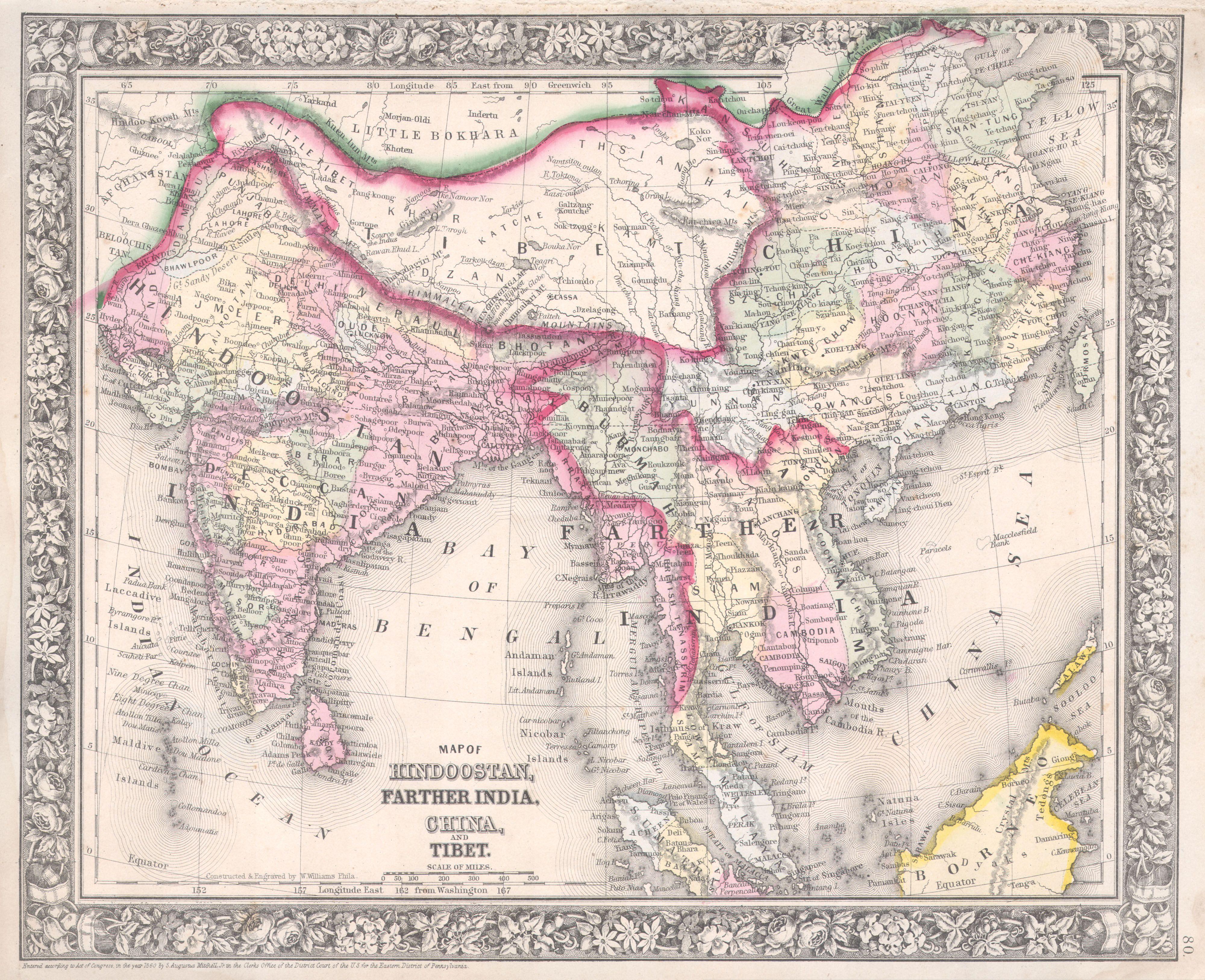
The Times Comprehensive Atlas of the World has in several editions published a map of
Afghanistan, Pakistan and north western India. In the said map, The purported western
borders of Afghanistan and Pakistan are
depicted in a cramped and congested manner and are displayed extending beyond the regular edges of the map and the
map of Kashmir is depicted in inset maps rather than as a complete and
comprehensive single map so that the
viewer does not have the benefit of viewing a complete bird's eye full view of the entire area! The Times Atlas of The World is a genius of such perverted deceit! The
Hindutash and the Sanju-la Passes in north eastern Kashmir are not
depicted as part of Kashmir though the very same Times Atlas of the World had previously depicted the Hindutash Pass as part of
Kashmir in 1900! In this 1959 map, they
have the audacity to draw two lines with the caption “undefined frontier”
between them but even in this 1959 map the Hindutash and Sanju-la Passes are
not depicted as part of Kashmir and the
international border is not depicted on the Kuen Lun range in that area even as
an alleged extreme view of the border not withstanding the fact that they have portrayed two lines allegedly showing the two extreme positions and the border is shown arbitrarily shifting from the Kuen lun range to the Kara Kash river after the Kukalang and Yangi Dawan passes in northern Kashmir instead of naturally continuing along the Kilian and Sanju-la passes in northern Kashmir
and proceeding to the Hindutash pass in northern Kashmir in deviation of the principle involved viz the fact
that historically the territory of Kashmir
extends to the Kuen Lun range at the edges of the highlands of Kashmir wherein
are the Kukalang, Yangi, Kilian, Sanju-la and Hindutash passes in northern
Kashmir, as though there was absolutely no legal basis, or justification or
precedents whatsoever for depicting the Sanju-la and the Hindutash Passes in northern Kashmir as part of Kashmir by depicting the northern international border of Kashmir on the Kuen Lun range! The Gazetteer of Kashmir and Ladák published in 1890 Compiled under the
direction of the Quarter Master General in India in the Intelligence Branch in fact unequivocally states that Khotán
is “a province in the Chinese Empire lying to the north of the
Eastern Kuenlun range, which here forms the boundary of Ladák” and “The
eastern range forms the southern boundary of Khotán, and is crossed by two
passes, the Yangi or Elchi Díwan, crossed in 1865 by Johnson and the
Hindútak Díwan, crossed by Robert Schlagentweit in 1857”.

So what has changed legally in the period of interregnum between 1900 and 1947 or 2013? Was there any valid cession of territory? This,
when it is the present stance of the Times Atlas of the World that the legal status of
the entire territory of Jammu and Kashmir is disputed! In this 1959 map due to their diabolical conspiracy and game plan and obvious collusion with the Chinese against India with ulterior motives and intentions they have not shown the whole of
Kashmir comprehensively as a single comprehensive map so that the viewer does
not view a complete bird's eye full view of the area, but have maliciously depicted
a part of Kashmir as an inset with a view to avoid
displaying the area of Hindutash in Kashmir altogether and due to this ulterior motive, they
had been constrained to depict the legend
“Jammu & Kashmir” in the area
of Aksai Chin in the aforesaid inset
map. But
the very same Times Atlas of the World now inter alia in the Post 2000
A.D. editions depict the very same Aksai Chin area in Kashmir as
either a disputed area or even allegedly a part of “China”, rather
than depicting the area of Aksai Chin as an integral part of Kashmir pure
and simple under blatant illegal Chinese armed military occupation.
Obviously the shameless and malicious perverted publishers of the Times Atlas
of the World have no morals or sense of propriety!
In
the map titled “Changes of Sovereignty since World War II”, the black line
depicting “Territory ceded or Annexed since 1939” is not shown
slightly extended towards the Hindutash, Sanju –la and Kilian and the line is shown depicted along the
Khunjarab and Mintaka passes deep inside Kashmir rather than to the north of Beyik depicting the Taghdumbash Pamir
and Dafdar as part of Kashmir and the border of Kashmir with the Russian Empire or Soviet Union as it was at the time of the

accession of Kashmir to the union
of India and the period pertaining to the commencement of the
Constitution of India as stipulated in Entry 15 in the First Schedule of the
Constitution on India. And in the maps titled “Physical Earth” depicting
the relief maps of the various continents, the legend Sub-continent of India is
conspicuous in its absence and is nowhere to be seen extending from the
Vaksh and Hindukush to the Lakshadvipa and the Chagos archipelago. Nor is
the legend Tibetan Plateau or Tibet shown extended to the Amdo and Tsaidam in north eastern Tibet though
the legend British Isles is nevertheless portrayed to the West of
Ireland.
By
treacherously and deceitfully not depicting the border on the ridge wherein the Kilian, Sanju-la and Hindutash passes in Kashmir are situate, particularly when two frontier lines were depicted with the
legend “undefined frontier” in between, way back in 1959, the Times Atlas has
forfeited an opportunity to place on record truth pertaining to the territorial
extent of Kashmir which it can never undo and for which it will never be able
to make amends and compensate, and The Times Atlas can only expect from India eternal hatred and detest.
The various illegal
cessions of the territory of Kashmir. The Red
line depicts the International border. The Green
line depicts the bogus fraudulent line that was illegally drawn in 1954 at the
instance of Mr. Jawaharlal Nehru which
is ab initio illegal and null and void and ultra vires the sacrosanct Constitution of
India and non est in law. The Yellow line
depicts the extent of territory in Kashmir illegally given by the Pakistanis to the
Chinese in 1963, and the Grey lines depict the Ceasefire Lines or Lines of Actual Control in the interior of Kashmir far away from the International Boundary of India.
 and proceeding to the Hindutash pass in northern Kashmir in deviation of the principle involved viz the fact
that historically the territory of Kashmir
extends to the Kuen Lun range at the edges of the highlands of Kashmir wherein
are the Kukalang, Yangi, Kilian, Sanju-la and Hindutash passes in northern
Kashmir, as though there was absolutely no legal basis, or justification or
and proceeding to the Hindutash pass in northern Kashmir in deviation of the principle involved viz the fact
that historically the territory of Kashmir
extends to the Kuen Lun range at the edges of the highlands of Kashmir wherein
are the Kukalang, Yangi, Kilian, Sanju-la and Hindutash passes in northern
Kashmir, as though there was absolutely no legal basis, or justification or


